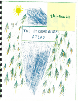
The St. Croix River Atlas : Past & Present Along the Heritage Waterway
Type
Other
Authors
AReader ( Anthony Reader )
Category
Maps
[ Browse Items ]
Publication Year
2003
Pages
36
Subject
St. Croix River History
Tags
Abstract
*Taken from 'Preface' page
"Most of these maps were drawn over an extended period for particular requirements such as guiding canoeists, organizing orienteering meets, undertaking field studies with students and researchers, publicizing municipal initiatives, and supporting fundraisers.
Creative teachers will find many map details to inspire student exploration, investigation, and discovery. Select maps could be duplicated, coloured, taken on field trips, modified, and included in written research assignments.
Inspiration came from enthusiastic friends, associates, and companions over many years. They include canoeists, citizens of Vanceboro, McAdam, Calais, St. Stephen Parks and Recreation Officials, and the congenial leader and associates of the St. Croix International Waterway Commission.
This atlas is dedicated to them.
Anthony Reader, 2003
Description
A collection of twenty-five hand drawn maps on 8x11 paper.
Many of the maps include their own legends with various symbols, created by the author.
Illustrations and snippets of unique local information are presented.
There is also a collection of eleven maps illustrating town lay outs.
*Note: there are two larger maps: 1) St. Stephen, 1878 2) St. Andrews, 1878
The document introduces them all with the following:
"List of Appendices:
Except where noted, these historic town plans are from 'Atlas of Washington County, Maine' (G.N. Colby and Co., 1881) and reprinted with the courtesy of Cherryfield-Narraguagus Historical Society and the Calais Free Library."
Number of Copies
1
| Library | Accession No | Call No | Copy No | Edition | Location | Availability |
|---|---|---|---|---|---|---|
| SCIWC Administration | 12829 | HA-23a | 1 | Yes |
