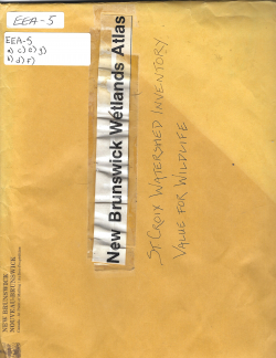
New Brunswick Wetlands Atlas - St. Croix Watershed Inventory - Value for Wildlife
Type
Publication
Authors
Category
SCIWC Library
[ Browse Items ]
Subject
St. Croix River Watershed
Tags
Description
This document is a manila envelope with a number of separate but associated documents.
1. EEA - 5a
This document is a 23 page copied version of a section from the book 'The Naturalist of the Saint Croix - Memoir of George A. Boardman - A Selection from his correspondence and published writings, notices of friends and contemporaries with his list of the Birds of Maine and New Brunswick by Samuel Lane Boardman (Bangor, Privately Printed, 1903)
There is a handwritten note in pencil on the title page: "Species List (Return to E. Gimble, Atlantic Center for the Environment)
The 23 pages are filled with the name of different types of animals, their Latin Scientific name, and the animal's level of presence in the St. Croix Region.
2. EEA - 5b
This document is two pages (though actually one page that has been split in two and affixed with a paper clip) entitled "Lands Protection Mapping Program - Maritimes (New...GRAM - Maritimes (New Brunswick Wetlands Atlas)
The document outlines the Wetland Classification System, Federal-Provincial Wetlands Protection Agreements, Expected Uses, End Products, and Inventory Procedures
3. EEA - 5c
This document is a small slip of paper resembling a receipt entitled "B. Freshwater Wetlands"
The document outlines Freshwater Wetland Classes and "C. Other Symbols and Codes"
4. EEA - 5d
This document appears to be an enlarged portion of Document 2.
In the top left corner is a portion of the title "New Brunswick Wetlands Atlas"
Three columns are presented and appear to be referencing the Wetlands Classification System.
5. EEA - 5e
This document is a elongated piece of paper that is entitled the "Legend for Wetland Classification", the document presents numerous codes and symbols.
6. EEA - 5f
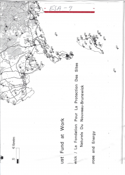
This document is a map that has been cut in such a way to place focus on the St. Croix River. The St. Croix River has been colored in with blue ink. The document is entitled "St. Croix Area - Wetlands Inventory"
7. EEA - 5g
This document is a map that has been cut and taped in such a way to place focus on the St. Croix River. This portion displays the Southern portion of the St. Croix River. The St. Croix River has been colored with blue ink.
Number of Copies
1
| Library | Accession No | Call No | Copy No | Edition | Location | Availability |
|---|---|---|---|---|---|---|
| SCIWC Administration | 13086 | EEA - 5 | 1 | Yes |
